
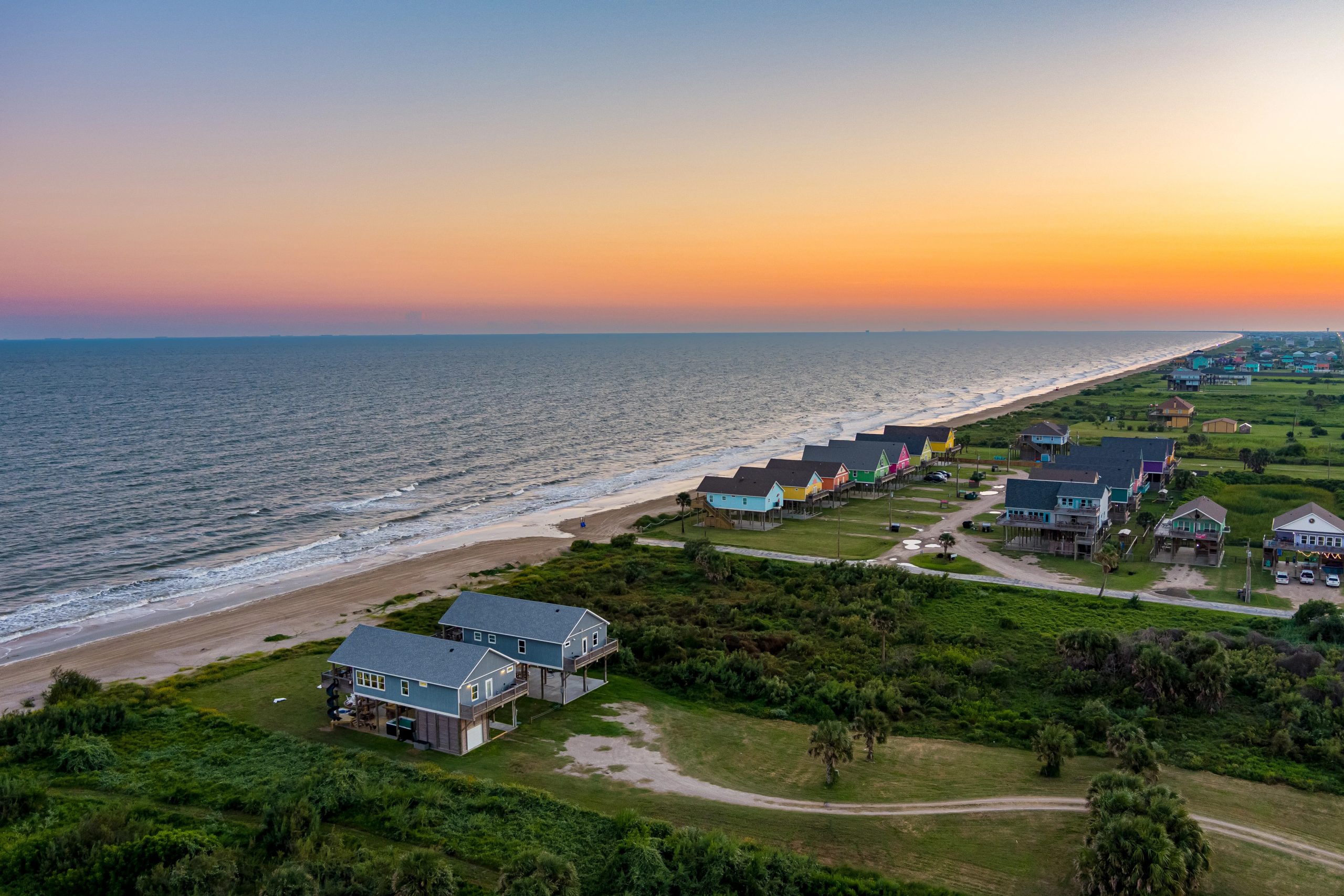
When people search for things to avoid on Bolivar Peninsula, they’re usually not asking which town has a bad reputation because the peninsula’s five communities are all genuinely quiet, low-crime places.
What they actually need to know is which specific stretches of beach carry real drowning risk, which road segments are dead ends that waste an hour of vacation, and which booking mistakes leave a family exposed during hurricane season.
A few places nearby — see all in Bolivar Peninsula
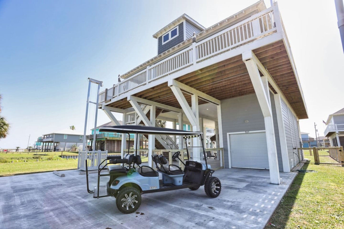
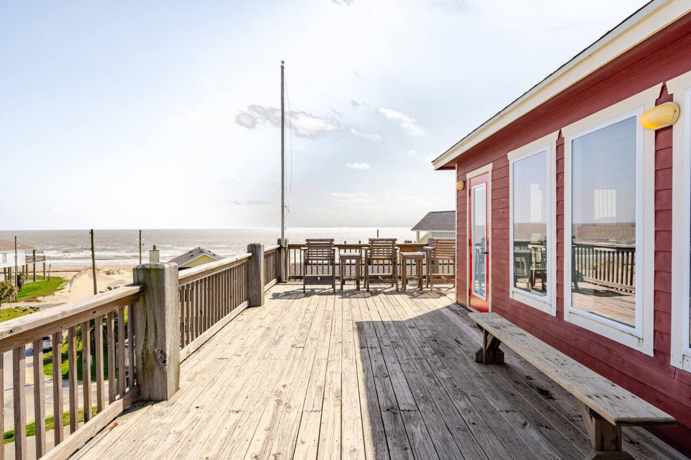

This guide covers those issues directly.
Bolivar Peninsula Risk Factors at a Glance
| Issue | What to Know | Safer Alternative |
| Rollover Pass | Closed and filled in as of 2020; not an active fishing or swimming spot despite what search results suggest | Fish from the North Jetty or book a guided charter instead |
| Highway 87 dead-end | Permanently closed past High Island since 1990; not a through-route to Sea Rim State Park | Plan day trips via Highway 124 to I-10 instead of continuing east |
| Hurricane season (June–Nov) | Single land evacuation route for the entire peninsula; Ike’s 2008 surge reached 14 feet | Book elevated, storm-rated construction and confirm your evacuation route before arrival |
| Rip currents near Gilchrist | Remote beaches have fewer lifeguards; rip current drownings have occurred in this stretch | Check surf conditions, swim parallel to shore if caught in a current |
| Erosion near the Chambers County line | Shoreline retreating roughly 4 feet/year; nourishment projects ongoing | Consider a second-row or bayside rental instead of front-row beachfront |
Rollover Pass: A Former Hotspot That’s No Longer What Search Results Suggest
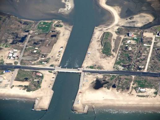
Rollover Pass was a man-made channel cut through the peninsula’s narrowest point in 1955, connecting the Gulf to Rollover Bay, and for decades it was one of the most popular shore-fishing spots in Texas where you could spot croaker, flounder, redfish, and speckled trout all ran through the cut.
Rollover Pass was permanently filled in and closed around 2020, following a long GLO effort to shut it down. The current was also actively eating away at the beach on both sides and threatening the Highway 87 bridge that serves as the peninsula’s only evacuation route.
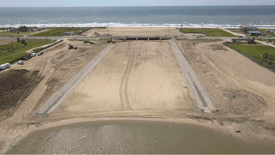
If you’re searching for “Rollover Pass” expecting a fishing pier or swimming spot, that’s outdated: the pass itself no longer exists as open water, though the surrounding beach near the old cut (between Gilchrist and Caplen) is still a landmark worth knowing about, since strong currents and rip currents remain a documented risk in that general stretch even now.
The Dead-End Stretch of Highway 87 Past High Island
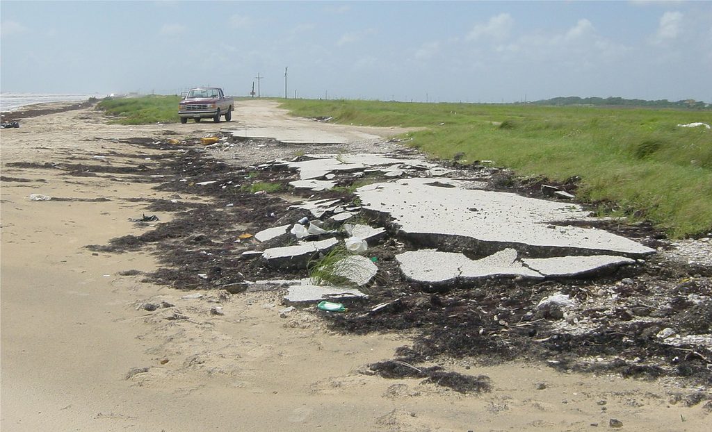
Here’s a planning mistake that costs visitors real vacation time: Highway 87 does not connect Bolivar Peninsula through to the rest of the upper Texas coast. The road used to continue from High Island toward Sea Rim State Park, but repeated washouts led TXDOT to close that stretch permanently in 1990. Today, eastbound Highway 87 simply ends at High Island, and anyone continuing on has to backtrack and turn north on Highway 124 toward Interstate 10.
This matters for two reasons:
- If you’re mapping a day trip and your GPS suggests continuing east past High Island along the coast, don’t. That road doesn’t go through, and you’ll be turning around on a rural two-lane highway.
- More seriously, this dead-end is also the reason Bolivar Peninsula has only one usable land evacuation route during a storm: everyone on the peninsula’s roughly 2,800 year-round residents, plus every visitor, funnels out through the same stretch of Highway 87 toward the mainland. That single-route reality is worth sitting with before you book a trip during hurricane season.
Booking Without a Hurricane Season Plan (June – November)
Hurricane Ike made landfall on Bolivar Peninsula on September 13, 2008, with a 14-foot storm surge and winds up to 110 mph that destroyed roughly 90% of Crystal Beach’s beachfront. According to FEMA, Galveston County officials say 20 people were confirmed dead or still missing months after the storm.
The community has been rebuilt with stricter elevation requirements since. FEMA case studies point to homes now built well above the required 16-foot base elevation as a key reason newer construction has fared better in subsequent storms, but the underlying exposure hasn’t changed. Bolivar Peninsula is a barrier landform with the Gulf on one side and Galveston Bay on the other, and it takes the first hit for a wide stretch of the upper Texas coast.
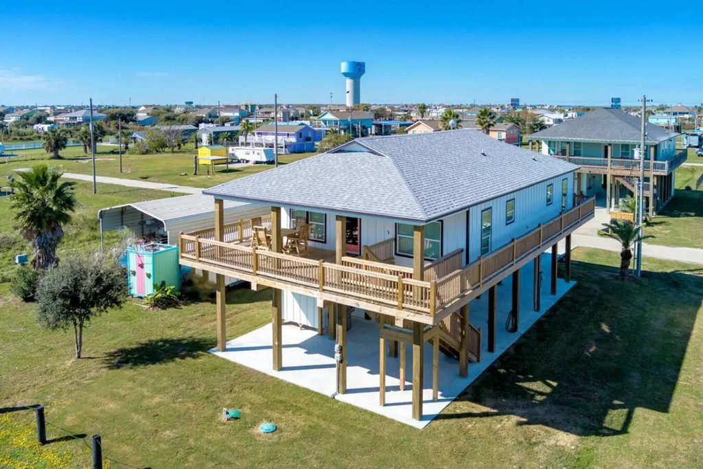
The honest caveat: If you’re booking a June-through-November trip, build in a real evacuation plan before you arrive, not after a storm is already forecast. That means knowing the single-route reality above, choosing a rental with hurricane-ready construction, and treating shoulder-season travel insurance as worth the cost rather than an upsell you skip.

Rip Currents Near Gilchrist and Unmarked Beach Access Points
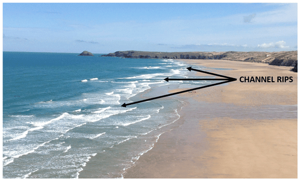
Bolivar Peninsula’s Gulf-facing beaches are beautiful and often nearly empty, especially around Gilchrist, but that same remoteness means fewer lifeguards and less-obvious rip current warnings than you’d find at a staffed beach.
In one widely reported 2021 incident near Gilchrist, a 16-year-old was caught in a rip current and his father drowned attempting a rescue. This is a pattern NOAA data shows nationally, where roughly 100 Americans die in rip currents most years, and where family members attempting a rescue are frequently among the casualties.
The practical takeaway: If you’re swimming anywhere along the Gilchrist-to-Caplen stretch, check surf conditions before you go in, and if you get caught in a current, swim parallel to the shore rather than fighting straight back toward the beach.
The Actively Eroding Shoreline Near the Chambers County Line
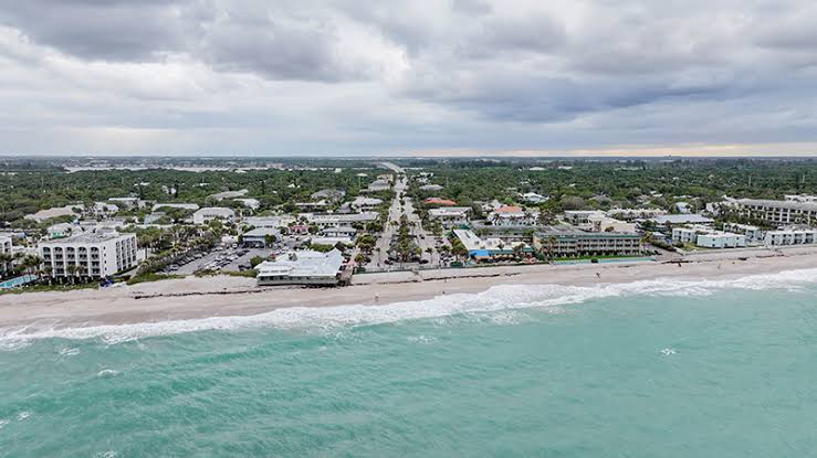
The stretch of Gulf-facing beach between the Galveston-Chambers County line and Gilchrist is where high tide comes closest to Highway 87, and it’s been the subject of ongoing Texas General Land Office beach nourishment projects because the shoreline is measurably retreating. Texas’s coastline erodes at an average of about 4 feet a year, and this segment is one of the faster-eroding stretches on the upper coast.
What This Means for Your Stay
There are two things worth knowing if you’re booking a rental near this stretch:
- Erosion-response construction work (sand replenishment, riprap placement) is ongoing and can affect beach access temporarily
- Older beachfront homes closer to the waterline here carry more storm exposure than similar homes set further back.
If beachfront proximity matters less to you than storm resilience, a second-row or bayside rental in this same area is often the more comfortable trade-off.
It’s worth noting this erosion isn’t unique to one bad stretch of road. It’s part of a broader pattern along the entire upper Texas coast, and Bolivar Peninsula’s position as a narrow barrier landform between the Gulf and Galveston Bay makes it more exposed than most. Larger federal and state efforts, including the long-discussed “Ike Dike” storm surge barrier system, are aimed at this same vulnerability, but as of 2026 that project remains in the design and funding phase rather than built infrastructure — so treat the shoreline’s current state, not a future barrier, as the reality to plan around this year.


What to Check Before You Book
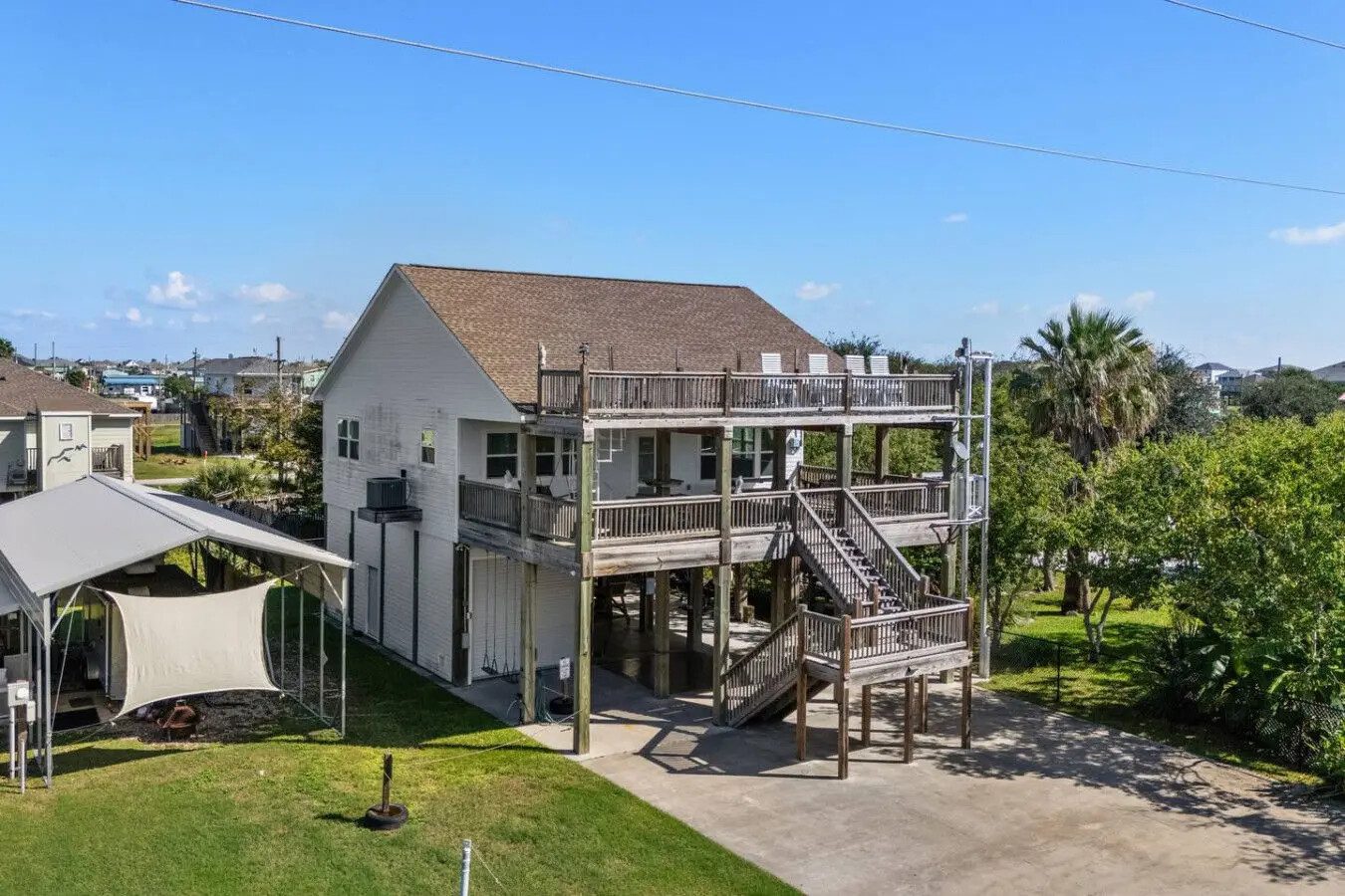
Beyond avoiding the specific spots above, a few questions are worth considering before you commit to a Bolivar Peninsula rental:
- What elevation is the home built at?
- Is it rated for the wind zone it sits in?
- What’s the cancellation or rebooking policy if a hurricane watch is issued during your stay dates?
Outside of hurricane season, the same diligence applies on a smaller scale: ask specifically how far the rental sits from the nearest marked beach access, since unmarked access points near Caplen and Gilchrist can mean a longer walk than photos suggest.
It’s also worth saying plainly that most of what qualifies as things to avoid on Bolivar Peninsula isn’t about a bad neighborhood — it’s about a handful of specific, well-documented hazards tied to water, weather, and road geography.
Once you know about those few things, the rest of the peninsula is about as low-key and low-risk as coastal Texas gets. Families who do this homework tend to come back year after year, which is part of why so much of Bolivar’s rental inventory is repeat-booking regulars rather than one-time visitors.
Frequently Asked Questions
Is Rollover Pass still open?
No. Rollover Pass was permanently filled in and closed around 2020 after years of Texas General Land Office studies showed it was accelerating beach erosion and threatening the Highway 87 bridge, so it’s no longer an active fishing or swimming location despite still appearing in older search results.
Does Highway 87 go all the way through Bolivar Peninsula?
No. Highway 87 dead-ends at High Island. The stretch toward Sea Rim State Park was permanently closed by TXDOT in 1990 due to repeated washouts, so through-travelers need to detour north on Highway 124 to reach Interstate 10.
Is Bolivar Peninsula safe during hurricane season?
It can be, with planning. The peninsula has only one land evacuation route, and Hurricane Ike’s 2008 storm surge reached 14 feet and killed 17 people there, so booking hurricane-rated construction and knowing your evacuation route in advance matters more here than in most coastal destinations.
Are there rip currents on Bolivar Peninsula beaches?
Yes, particularly along the more remote Gilchrist-to-Caplen stretch, where multiple rip current drownings have been documented in recent years; swim parallel to shore if you’re caught in one rather than swimming directly back toward the beach.
Is Bolivar Peninsula eroding?
Yes, especially the stretch between the Galveston-Chambers County line and Gilchrist, where the shoreline retreats roughly 4 feet a year on average and Texas General Land Office nourishment projects are ongoing to slow the loss.
What happened to Bolivar Peninsula during Hurricane Ike?
Hurricane Ike made a direct hit on September 13, 2008, with winds up to 110 mph and a 14-foot storm surge that destroyed about 90% of Crystal Beach’s beachfront homes and killed 17 people on the peninsula, though rebuilt homes now generally sit at higher, code-required elevations.
Which part of Bolivar Peninsula is the most remote?
Gilchrist and the areas near High Island are the most remote, with the fewest services, the longest drives to groceries or a ferry landing, and correspondingly fewer lifeguards or beach monitoring than the busier Crystal Beach stretch.